
DC Peaks 25K · Oct 2, 2027
DC Peaks 25K Race Guide
- Elevation gain
- 2,000’
- Descent
- ~1,900’
- Distance
- 15 miles
- High point
- 6,551’
- Time limit
- No cutoffs
Explore it in 3D
The course
Fall colors, flowing singletrack and a finish line party.
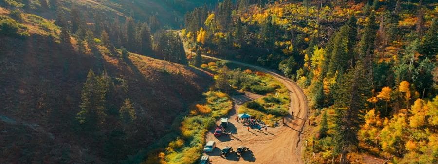
The DC Peaks 25K takes you through the stunning Mueller Park area, covering the final 15 miles of our 50-mile route. The course follows the trail system Davis County built in 2021: groomed singletrack with a maximum grade of 14% and an average grade of 6%. Approximately 2,000’ of total elevation gain.
There is one full aid station at mile 9.5. To reach it, take a right and descend 0.4 miles down a steep path. The climb back out is a bit tough, but once you’re back on the main trail you’ll be cruising.
At mile 13.1, watch for a hard right. It takes you through Wild Rose Park and onto the road. Turn left and follow the road for 0.7 miles to the finish. Great job—you did it!
Pick an aid station on the map, in the list or on the elevation chart to fly to that section and see what it takes to get there. Crew access No crew
Map is for planning only — use the official GPX on race day. Section gain and descent are from the race team (≈ marks approximate numbers).
Oct 2, 2027
Event schedule
- ThuSep 30
Packet pickup
2:00 – 6:00 PM
1Solar, 819 Lagoon Dr, Farmington, UT
Also open Fri, Oct 1, 2:00 – 6:00 PM.
- SatOct 2
Race start
9:00 AM
Entrance of Mueller Park Canyon, Bountiful
No shuttle for the 25K. Please arrange your own ride to the start.
- SatOct 2
At a glance
Aid stations
| Station | Mile | Crew | Pacers | Drop bag | Cutoff |
|---|---|---|---|---|---|
| Start – Mueller Park | 0 | Yes | — | No | — |
| Summerwood | 9.8 | No | No | No | — |
| Finish – Tunnel Springs Park | 15.1 | Yes | — | No | — |
Station names with a link open the map pin.
No pacers in the 25K.
Crew & pacers
Crews
- Crew and family can see runners at the start and the finish. There is no crew access at Summerwood.
- No drop bags in the 25K. Start-line layers can go to the finish as a separate service.
Essential runner information
Course markings
Official course markings
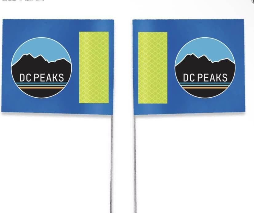
We use blue DC Peaks flags and signs on the course. We do not use any ribbons.
Offline GPX navigation
Download the required GPX navigation file before race day: DC Peaks 25K GPX.
Important trail notice
The “trail police” have removed markings every year, which has caused us to go bald from stress! Do not rely solely on physical flags.
What to expect on course
At the aid stations
Hydration & supplies
- Water & ice
- Electrolyte drink
- First aid
- Sunscreen
Quick snacks
- PB&J sandwiches
- Chips & crackers
- Cookies & donut holes
- Fruit & candy
- Pickles
Essential runner information
Safety & weather
Course safety & rescue
- Side-by-side vehicles are available on course to transport runners off the mountain in emergencies.
- Medical staff are stationed along the course to assist injured runners.
Tracking & navigation
- Runner check-in/out: strict logging at every aid station so we always know your location.
- Mandatory GPX download: download the main and alternate route GPX files before race day. They’re essential for staying on the correct path in remote sections.
Mountain weather
- Weather in the peaks shifts drastically without warning.
- Be prepared for all conditions: extreme heat, freezing cold, rain, snow, and severe wind.
- Check the mountain forecast continuously leading up to race day.
Essential runner information
Medical & emergency
Layton Hospital
201 Layton Pkwy, Layton, UT 84041
801-543-6000Lakeview Hospital
630 Medical Dr, Bountiful, UT 84010
801-299-2200Davis County Search & Rescue
800 West State Street, Farmington, UT
801-451-4100
Dedicated emergency support is available throughout the race.
DC Peaks 25K
Race rules & guidelines
The race rules, plus the deferral and cancellation policy, are on the Course Info page.